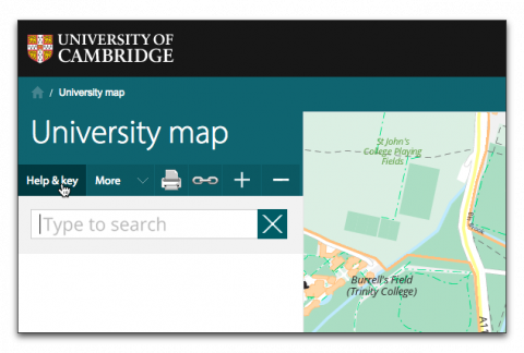
The University map may be use transparently by people seeking locations within the University, but has many facilities available that will be of interest to those managing web content. Access to information about these is through the 'Help & key' menu on the right of the screen:
- We offer a comprehensive Export/Print facility to obtain PDF or PNG image file extracts of the map and departmental information. This provides support for a quick "just give me what I see" to precisely sized extracts for placement in professionally printed publications. Export print is available by clicking the Export/Print button
 (above the search box) or Export/Print on the More menu. See the separate help page for more information.
 - You can obtain the URL for the current view of the map using the link button
 or 'Link to Map' on the 'More' menu, which you can send in emails or place on other web pages as required. This can include one or more coloured markers generated using the 'draw marker' option on the context menu (see above). You can also draw points, images, text, lines and areas on top of the map (custom overlays) and send the result to other people. Choose 'Annotate the map' on the 'More' menu to do this.
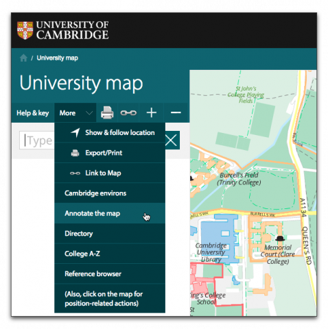
- You can embed the map for a particular institution in your own website using an IFRAME. Only the map itself will be displayed, not the search box etc. See technical details.
- You can overlay curated layers such as the Universal bus route and the location of defibrillators.
- You can also use the map's API to make more sophisticated use of the map images and data in your own sites.
- The map also supports the oEmbed protocol. This allows map URLs pasted into compatible content management system articles to be automatically substituted for the live map represented by that URL. See more about how oEmbed works with the University map.